Identify And Select Countries Of Africa: Region 1
Subject: Social studies
Grade: Eighth grade
Topic: Africa: Geography
Please LOG IN to download the presentation. Access is available to registered users only.
View More Content
Exploring Africa: Region 1 Geography
– Africa’s diverse landscapes
– Deserts, rainforests, savannas, and more
– Geography’s role in development
– Geography influences economy, culture, and politics
– Focus on Region 1 countries
– Introduction to countries like Egypt, Libya, and Sudan
– Significance of learning this region
|
This slide introduces students to the vast and varied geography of Africa, setting the stage for a deeper dive into the specific countries of Region 1. Emphasize Africa’s diversity, not just culturally, but geographically, with its mix of deserts, rainforests, and savannas. Discuss how geography has played a crucial role in the continent’s development, affecting everything from economic activities to cultural practices and political relationships. Highlight the importance of understanding this region, focusing on countries such as Egypt, Libya, and Sudan, and explain how this knowledge can provide valuable insights into the continent’s complexities. Encourage students to think about how geography can shape a country’s identity and future.
Exploring Africa’s Regions: Focus on Region 1
– Africa’s geographical division
– Significance of regional divisions
– Regions help categorize cultural, physical, and economic similarities.
– Exploring Region 1 countries
– Identify countries like Egypt, Libya, and Sudan in Region 1.
– Characteristics of Region 1
– Discuss climate, landscapes, and cultural traits of Region 1.
|
This slide aims to introduce students to the concept of dividing Africa into regions for a better understanding of its geography. Emphasize that Africa is not a monolithic entity but a diverse continent with various regions that have distinct characteristics. Explain why geographers and historians divide Africa into regions, highlighting the importance of recognizing cultural, physical, and economic patterns. Focus on Region 1, which includes countries in North Africa, and discuss their shared features such as desert climates, the presence of the Sahara, and historical ties to ancient civilizations. Encourage students to explore maps and resources to familiarize themselves with the countries in Region 1 and their unique attributes.
Exploring Africa: Countries of Region 1
– Map identification of Region 1 countries
– Use a map to locate and name each country within Region 1.
– Unique geographical features of Region 1
– Discuss landscapes, climate, and natural resources unique to Region 1.
– Cultural significance in Region 1
– Explore languages, traditions, and arts prevalent in Region 1.
– Historical context of Region 1
– Understand the historical events that shaped Region 1.
|
This slide aims to provide an overview of the countries in Africa’s Region 1. Students should be able to identify each country using a map and recognize the region’s diverse geographical features, including any significant mountains, rivers, or climate zones. Additionally, the slide touches on the rich cultural heritage and historical background of the region, which may include colonial history, indigenous cultures, and significant historical events. Encourage students to explore these aspects further through research and class discussions, fostering a comprehensive understanding of Region 1’s role in Africa’s geography, culture, and history.
Physical Geography of Africa: Region 1
– Mountains, rivers, and deserts
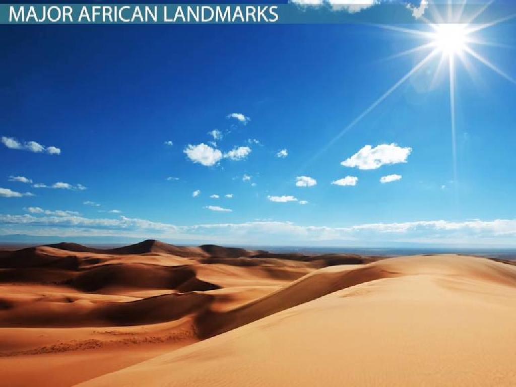
– Explore the Atlas Mountains, the Nile River, and the Sahara Desert
– Climate impact on livelihoods
– Discuss how the Sahara’s arid climate influences agriculture and settlement patterns
– Region 1’s natural resources
– Identify resources like minerals in the Congo Basin and oil in Nigeria
|
This slide aims to give students an overview of the physical geography of Africa’s Region 1, which includes North Africa and parts of West Africa. Highlight the major physical features such as the Atlas Mountains, the Nile River, and the vast Sahara Desert. Discuss how the predominantly arid climate of the Sahara affects where people live, what they do for a living, and how they adapt to environmental challenges. Emphasize the abundance of natural resources in the region, such as the mineral wealth of the Congo Basin and the significant oil reserves in Nigeria, and how these resources impact the economy and development of the countries within Region 1. Encourage students to think about the interplay between geography, climate, and human activity, and how this shapes the culture and economy of a region.
Political Maps and Boundaries in Africa
– Understanding political boundaries
– Borders defining territorial limits of states
– Nation-states concept in Africa
– Independent countries with sovereign power
– Historical boundary changes
– Colonialism to independence, borders evolved
– Impact on African countries
|
This slide aims to introduce students to the concept of political boundaries and how they define the territorial limits of different states within Africa. Discuss the idea of nation-states, which are independent countries with their own sovereign governments. Highlight how historical events, especially colonialism and the struggle for independence, have led to the evolution of boundaries over time. Emphasize the impact these changes have had on the continent’s political and social landscape. Encourage students to think about the implications of these boundaries on the relationships between different African countries and the continent’s overall development.
Region 1: Country Case Study – Egypt
– Explore Egypt’s geography
– Located in Northeast Africa, Egypt is famous for the Nile River and the Sahara Desert.
– Delve into Egyptian culture
– Egypt’s rich culture includes ancient history, landmarks like the Pyramids, and Arabic traditions.
– Overview of Egypt’s politics
– Governed as a semi-presidential republic, Egypt has a significant role in Middle Eastern politics.
– Discuss Egypt’s current events
– Egypt’s diplomacy focuses on stability, with interests in regional security and economic partnerships.
|
This slide aims to provide students with a comprehensive understanding of Egypt, a key country in Africa’s Region 1. Begin with its geography, highlighting the Nile River’s importance to its ecosystem and the Sahara Desert’s impact. Move on to cultural aspects, discussing ancient Egyptian history, the significance of the Pyramids, and modern-day traditions. Politically, explain Egypt’s government structure and its influence in the Arab world. Lastly, touch on current events, emphasizing Egypt’s diplomatic efforts and international relations, particularly in the context of African unity and Middle Eastern geopolitics. Encourage students to think about how geography and culture influence a country’s political stance and international relationships.
Class Activity: Mapping Africa’s Region 1
– Engage in map labeling activity
– Identify and label Region 1 countries
– Discuss geographical significance
– Why is a country’s location important for trade, climate, etc.?
– Reflect on location importance
– How does geography influence culture, politics, and economy?
|
This interactive class activity is designed to help students familiarize themselves with the countries of Africa’s Region 1 through a hands-on map labeling exercise. Provide students with a blank map of Africa’s Region 1 and have them identify and label each country. After the labeling, facilitate a discussion on how the geography and location of these countries affect various aspects of life such as trade routes, climate conditions, cultural exchanges, and political relationships. Encourage students to think critically about the relationship between geography and human activity. Possible variations of the activity could include group work for labeling, individual research on a specific country’s geographical features, or a creative project where students illustrate the different geographical landscapes found within the region.
Reflection on Africa: Region 1
– Key takeaways about Region 1
Discuss the countries, climate, and cultures we explored.
– Geography’s impact on daily life
How do physical features like rivers and mountains influence society?
– Open Q&A session
– Share personal reflections
What thoughts or new insights have you gained?
|
This slide aims to consolidate the students’ learning and encourage critical thinking about the relationship between geography and society. Start by summarizing the main points covered about Region 1 of Africa, including the countries within this region, their climates, and cultural aspects. Then, facilitate a discussion on how geography affects the livelihoods, traditions, and daily activities of the people living in these countries. Open the floor for an interactive Q&A session, allowing students to ask questions or express their thoughts about the lesson. Finally, encourage students to share any personal reflections or insights they’ve gained, fostering a deeper understanding and connection to the material.
Homework: Explore a Country in Africa’s Region 1
– Select a country from Africa’s Region 1
– Research its geography and culture
– Look into physical landscape, climate, and major cities
– Include current events in your study
– Explore traditions, languages, and cuisine
– Presentation due date and guidelines
– Find recent news articles or stories
|
Students are tasked with choosing a country from Africa’s Region 1 for an in-depth research project. They should explore the country’s physical geography, including its landscape and climate, as well as cultural aspects such as traditions, languages, and food. Additionally, students are expected to investigate current events to gain a contemporary understanding of the country. The assignment will culminate in a short presentation. Provide clear guidelines on the expected length, format, and content of the presentation, including any visual aids or handouts. Set a due date and offer resources where students can find reliable information. Encourage students to use a variety of sources and to cite their research properly.


